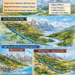
🌊 Sharda River Origin Glacier & Kali River System – Complete Guide (Uttarakhand Eastern Rivers)
📝 Introduction
The Sharda River, also known as the Kali River, is one of the most important rivers in the eastern river system of Uttarakhand. Originating from the remote Himalayan glaciers, this river plays a crucial role in shaping the geography, culture, and boundaries of the region.
This article provides a complete, easy-to-understand, and SEO-friendly guide covering its origin, tributaries, river system, major towns, and geographical significance—encouraging readers to explore more about Uttarakhand.
🌄 Origin of Sharda (Kali) River
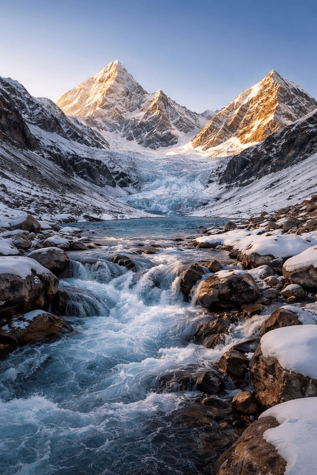
The Sharda River originates from Kalapani (Vyas Ashram) near Lipulekh Pass, located on the eastern slope of the Jaxar range close to the Tibet border in northern Pithoragarh.
- Locally known as Kalapani Gad or Kaliganga
- Flows parallel to the Kakagiri mountain range
- Forms the natural boundary between India and Nepal
Initially, the river flows through the mountainous terrain of Pithoragarh and later enters Champawat.
🌍 Transformation into Sharda River
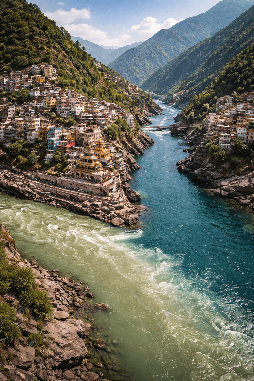
After passing Barmadeo Mandi near Purnagiri (Tanakpur), the Kali River is known as the Sharda River.
📖 According to ancient texts like the Skanda Purana, it is referred to as the Shyama River, although its water is not considered holy in traditional beliefs.
📏 Length of Sharda River
- Total Length (Kalapani to Tanakpur): 252 km
🌊 Major Tributaries of Kali (Sharda) River
The river receives water from several important tributaries:
- Kuthiangti
- Eastern Dhauliganga
- Goriganga
- Saryu
- Lohavati
- Ladhia
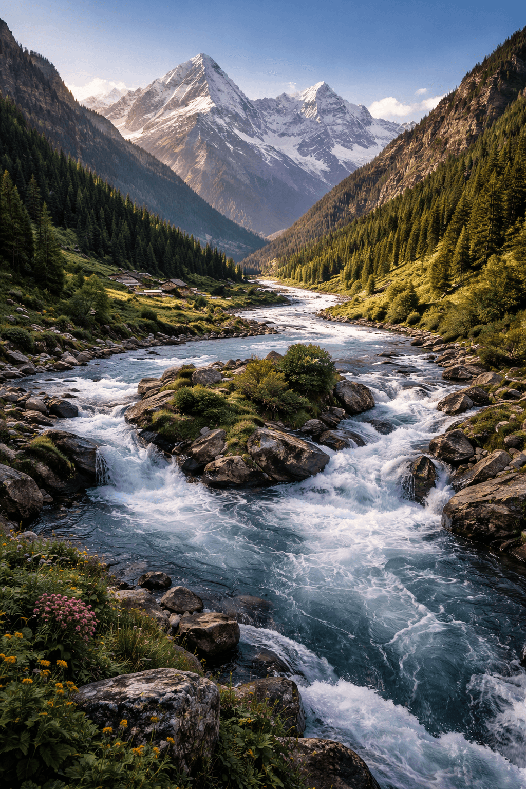
These tributaries strengthen the river system and increase its water volume significantly.
🔗 Subsystems of Kali River
1. Kuthiangti Subsystem
- Originates from western slopes of Jaxar range
- Tributaries: Sangchuna, Nikutar, Thumka
2. Eastern Dhauliganga Subsystem
- Joins Kali River near Khela (Sialpanth)
- Originates from glacier region (Gowanakhna)
- Tributaries include:
- Lissar (Darma)
- Nandarma
- Selayangti
- Kanchutich
3. Goriganga Subsystem
- Meets Kali River at Jauljeevi (Pithoragarh)
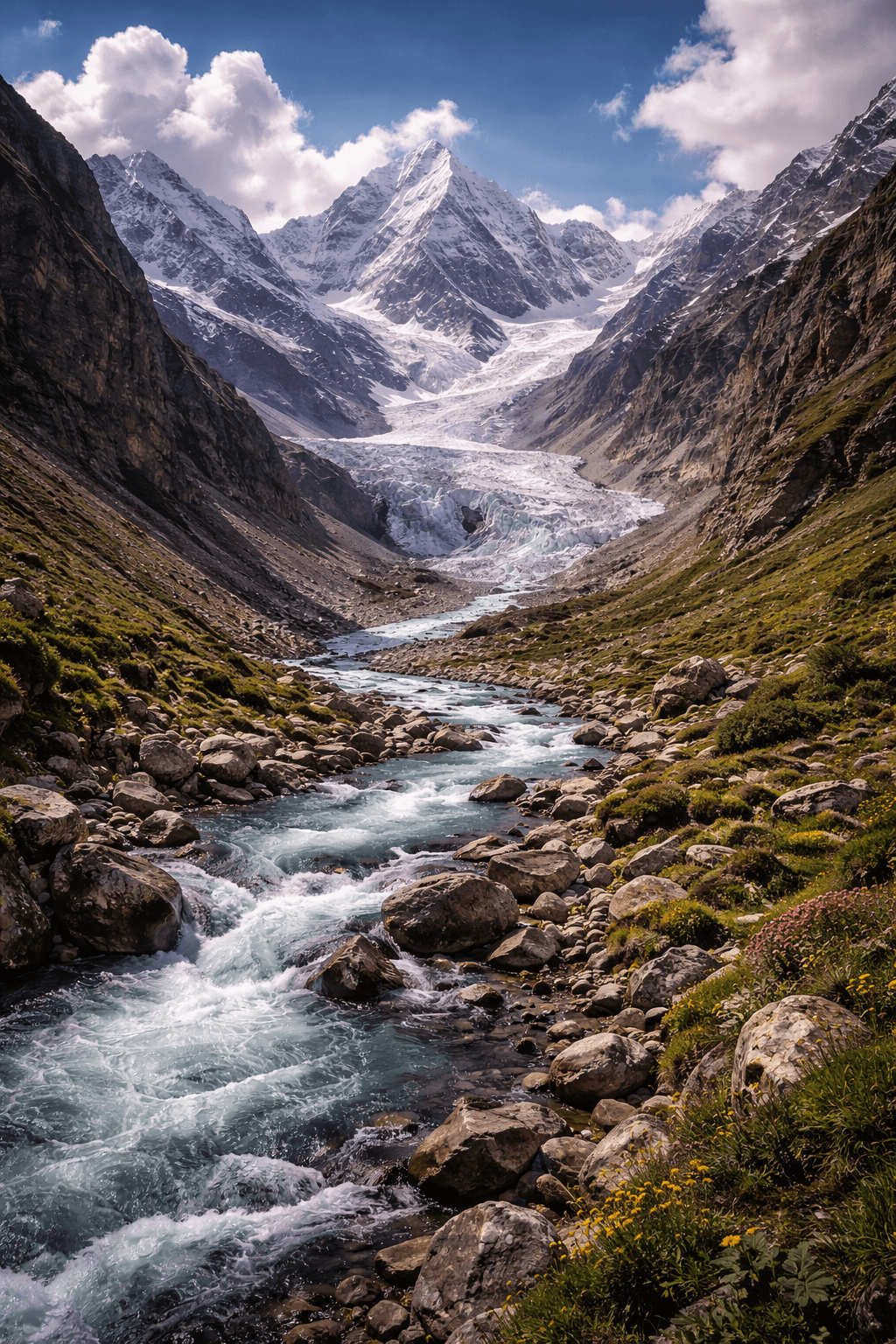
- Originates from Milam Glacier
- Has two initial branches:
- Goriganga
- Shunkalpa (Ramal)
Tributaries:
Ramlgad, Madkani, Gonkhagad
4. Saryu Subsystem
The Saryu River is considered the holiest river of Kumaon and contributes the maximum water to Kali River.
- Origin: Sarmul (Jhundi), Bageshwar
- Length: 146 km
- Flows west to east
📍 Key locations:
- Baijnath Teerth
- Bageshwar town
👉 Joins Kali River near Pancheshwar
Important Tributaries of Saryu:
- Gomti (meets at Bageshwar)
- Panar (meets at Kakrighat)
- Eastern Ramganga (joins near Rameshwar)
5. Eastern Ramganga
- Origin: Ponting & Namik Glaciers (Pithoragarh)
- Length: 108 km
- Tributaries:
- Bhujpatrigad
- Gargatiya
- Kalapani Gad
- Beral Gad
6. Ladhia River
- Last tributary of Kali River
- Joins near Chuka (Champawat)
- Origin: Gajar (meeting point of Pithoragarh, Almora, Nainital)
🏙️ Major Cities & River Confluences
🌉 Panch Prayag (Sacred Confluences)
- Vishnu Prayag – Alaknanda + Dhauli Ganga
- Nand Prayag – Alaknanda + Nandakini
- Karna Prayag – Alaknanda + Pindar
- Rudra Prayag – Alaknanda + Mandakini
- Dev Prayag – Alaknanda + Bhagirathi
🌆 Other Important Towns on River Banks
- Haridwar – Ganga
- Rishikesh – Ganga & Chandrabhaga
- Srinagar – Alaknanda
- Kedarnath – Mandakini
- Kausani – Kosi
- Tanakpur – Kali/Sharda
- Gangotri – Bhagirathi
- Bageshwar – Saryu & Gomti
- Joshimath – Alaknanda
- Uttarkashi – Bhagirathi
📊 Length of Major Rivers in Uttarakhand
| River | Origin | Endpoint | Length (km) |
|---|---|---|---|
| Yamuna | Yamunotri | Dhalipur | 136 |
| Bhagirathi | Gomukh | Devprayag | 205 |
| Alaknanda | Satopanth Glacier | Devprayag | 195 |
| Pindar | Pindari Glacier | Karnaprayag | 105 |
| Mandakini | Kedarnath | Rudraprayag | 72 |
| Kali (Sharda) | Lipulekh | Tanakpur | 252 |
| Saryu | Sarmul | Pancheshwar | 146 |
| Goriganga | Milam Glacier | Jauljeevi | 104 |
🌿 Geographical Importance
- Forms India–Nepal border
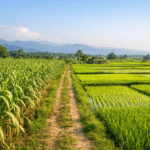
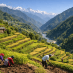
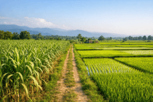
- Supports agriculture and settlements
- Acts as a major water resource
- Plays a vital role in Kumaon region ecology
Q1. Where does the Sharda River originate?
The Sharda River originates from Kalapani near Lipulekh Pass in Pithoragarh district.
It is called Kali River in upper regions and Sharda River after Tanakpur.
The river is approximately 252 km long from Kalapani to Tanakpur.
The Saryu River contributes the maximum water.
Yes, it forms the boundary between India and Nepal.
If you found this guide helpful, explore more articles on Uttarakhand geography, rivers, and history on our website and deepen your knowledge of the Himalayas 🌄
Releted Post:-
- Uttarakhand River System
 Uttarakhand River System Uttarakhand is one of India’s most water-resource-rich Himalayan states. The rivers of Uttarakhand not only shape its geography but also define its culture, economy, pilgrimage routes, and historical development. Most rivers here flow south or south-eastward, finally becoming part of the Ganga River System at the national level. However, within the state,… Read more: Uttarakhand River System
 - Uttarakhand Mineral EstatesUttarakhand Mineral Estates Uttarakhand is not only famous for its natural beauty and sacred rivers but also for its rich and diverse mineral wealth. Today, we are discussing “Uttarakhand Mineral Estates”, which highlights the mineral resources found across the state. Almost every type of mineral wealth is available here—some in abundance and some in limited… Read more: Uttarakhand Mineral Estates
- Soil of UttarakhandSoil of Uttarakhand: Types, Characteristics, and Agricultural Importance Uttarakhand is a Himalayan state where nature, mountains, forests, and agriculture are deeply connected. Today, we will understand the soil of Uttarakhand, especially the mountain soil of Uttarakhand, to know where the soil is fertile, where it is less fertile, and how it supports agriculture and human… Read more: Soil of Uttarakhand
- Uttarakhand Physical Structure Part 1Uttarakhand Physical Structure – Part 1 Geographical Extent, Boundaries and Himalayan State Concept Today, in Uttarakhand Physical Structure – Part 1, we study the geographical extent of Uttarakhand. This article explains where Uttarakhand is located, how large it is, and why it is called a Himalayan state. The remaining points of Uttarakhand’s physical structure will… Read more: Uttarakhand Physical Structure Part 1
- Uttarakhand Agriculture & Land System🌾 Uttarakhand Agriculture & Land System Uttarakhand is primarily an agricultural state where nearly 69.77% of the population lives in rural areas and depends on the primary sector such as agriculture, forests, herbs, and allied activities. Agriculture has shaped the economic and social structure of the state for centuries. However, geographical diversity, migration, and land… Read more: Uttarakhand Agriculture & Land System