Uttarakhand Physical Structure Part 2 – Complete Geographical Divisions (Gangetic Plain, Terai, Bhabar, Shivalik & Doon Region)
📚 Introduction
Geographical Divisions of Uttarakhand
In Uttarakhand Physical Structure (Part 1), the landmass and geological structure of the state were studied. Now, in Part 2, we will study the geographical divisions of Uttarakhand in complete detail.
The state of Uttarakhand can be divided into eight geographical or physical regions based on:
- Surface configuration
- Rock formation
- Relief features
These eight regions are:
- Gangetic Plain Area
- Terai (Tariwala) Area
- Bhabar Area
- Shivalik Area
- Doon (Dwar) Area
- Lesser or Middle Himalayan Region
- Greater or Higher Himalayan Region
- Trans-Himalayan Region
In this article, we will fully study the first five regions, and the remaining will be covered in Part 3.
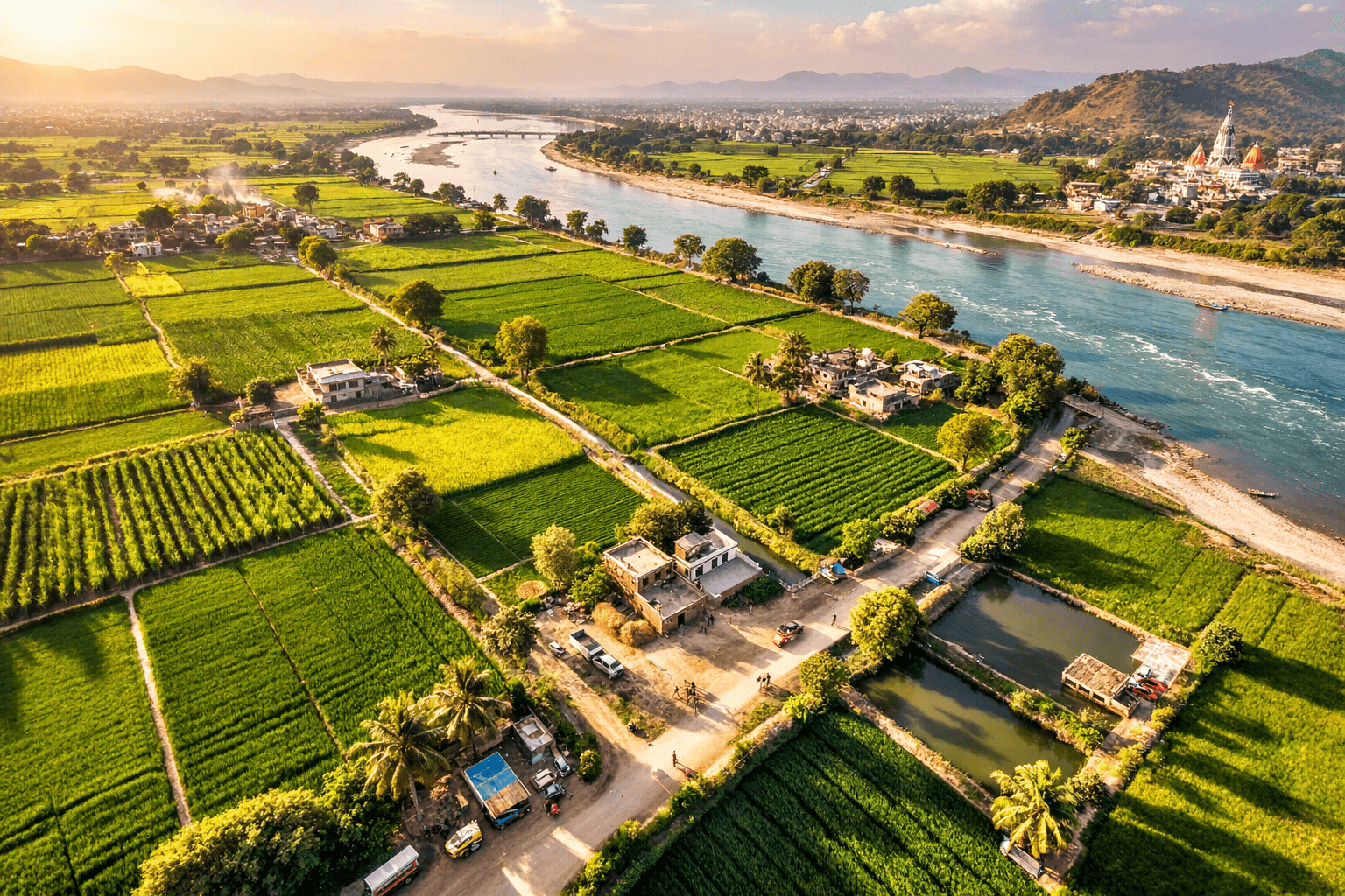
1️⃣ Gangetic Plain Area
Most of the southern part of Haridwar forms part of the plains of the Ganges River.
Formation
This area has been formed by fine-grained sediments such as:
- Silt
- Mud
- Sand
These sediments were brought by rivers like the Ganga and deposited over time.
Soil Types
- Khadar Soil – Found in flood-prone areas
- Bagar Soil – Found in non-flooded areas
The soil is extremely fertile.
Agriculture
Main crops grown here:
- Sugarcane
- Wheat
- Paddy
Important Towns
- Laksar
- Roorkee
This region is well connected by road and railway networks.
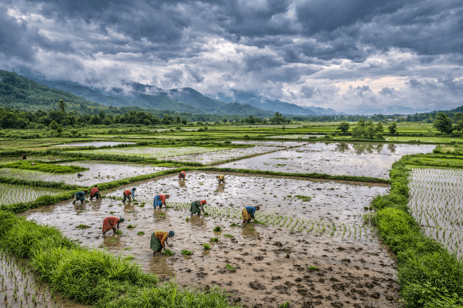
2️⃣ Terai Region
The Terai region lies immediately north of the Gangetic Plain. It includes:
- Southern parts of Pauri Garhwal
- Southern parts of Nainital
- Most of Udham Singh Nagar district
Width
20 to 30 km
Formation
Like the plains, this region is formed by fine-grained sediments.
However, it differs due to:
- Heavy rainfall
- Marshy land conditions
Special Feature
- Presence of Artesian Wells
Agriculture
This region is highly productive and comparable to the Gangetic Plain.
Major crops:
- Paddy
- Sugarcane
- Wheat
- Potato
Major Towns
- Aurangabad
- Jwalapur
- Sitarganj
- Bajpur
- Kashipur
- Khatima
- Rudrapur
The area is connected by road and rail.
People from Punjab, Haryana, Bengal, Kumaon, and Garhwal have settled here. Many practice commercial farming and business.
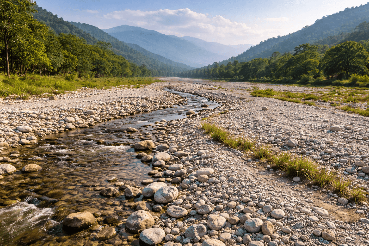
3️⃣ Bhabar Region
The Bhabar region lies immediately north of the Terai and south of the Shivalik hills.
Width
10 to 12 km strip
Extends from Champawat in the east to Dehradun in the west.
It is wider in the western part.
Soil and Surface
- Rough land
- Pebbles
- Stones
- Coarse sand
River Behavior
Small rivers disappear into thick layers of stone blocks and reappear after some distance.
Geological Formation
Formed during the Pleistocene Era by deposition of heavy sediments brought by rivers descending from the Shivaliks.
Agriculture & Vegetation
- Soil unsuitable for agriculture
- Mostly wild shrubs
- Limited cultivation in some areas
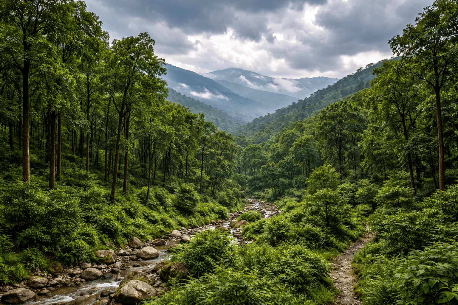
4️⃣ Shivalik Region
The hills north of the Bhabar region belong to the Shivalik Range, also called the outer Himalayas or foothills.
Spread
Covers parts of:
- South Dehradun
- North Haridwar
- South Tehri Garhwal
- Central Pauri
- South Almora
- Central Nainital
- South Champawat
Width
10–20 km
Up to 50 km in western parts
Height
700–1200 meters
Geological Age
The newest part of the Himalayas.
Formation period: Middle Miocene to Lower Pleistocene (approximately 1.75 lakh to 30 million years ago).
Fossils are found here.
Composition
- Myo-Pleistocene sand
- Pebbles
- Shale
- Compressive rocks
Surface is uneven with steep slopes.
Rivers Cutting Through
- Tehri region rivers
- Ganga Dwar in Haridwar
- Yamuna Dhar in Dehradun
- Ramganga in Pauri
- Kosi and Nandhaur in Nainital
Heavy erosion and landslides occur frequently.
Climate
- Summer: 29.4°C – 32.8°C
- Winter: 4.4°C – 7.2°C
- Annual Rainfall: 200–250 cm
Vegetation
Lower parts:
- Sal
- Shisham
- Semal
- Gooseberry
- Bamboo
- Teak
Higher parts:
- Pine
- Deodar
- Buransh
Wood-based industries developed here.
Minerals
Limestone from dolomite rocks near:
- Mandarsu
- Barkot
- Rishikesh
Other minerals:
- Sand
- Marble
- Gypsum
- Phosphatic shale
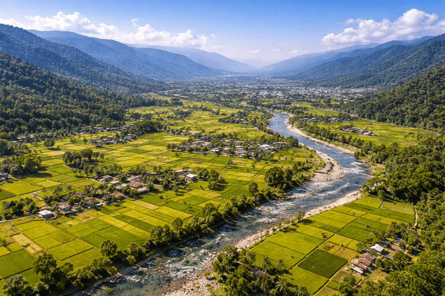
5️⃣ Doon (Dwar) Region
The Doon region consists of high, flat valleys located between the Shivalik range and the Lesser Himalayas.
Width
24–32 km
Elevation
350–750 meters
Famous Valley
The most famous valley is Dehra Dun, located in Dehradun.
Length: 75 km
Width: 24–32 km
Agriculture
- Paddy cultivation is highly productive
- Intensive agriculture is practiced
Rivers
- Asan
- Suswa
These rivers bring fertile sediments from the Lesser Himalayas.
Soil
Covered with fine trembling deposits and flat surface.
Population
High population density due to favorable living conditions.
Landslides
Occur frequently from the Lesser Himalayan range.
Climate
- Summer: 29.4°C – 32.8°C
- Winter: 4.4°C – 7.2°C
- Annual Rainfall: 200–250 cm
✅ Conclusion
The first five geographical divisions of Uttarakhand show remarkable physical diversity:
- Fertile plains in the south
- Marshy Terai belt
- Rocky Bhabar strip
- Forest-rich Shivalik hills
- Flat and fertile Doon valleys
Each region has distinct soil, climate, vegetation, minerals, and agricultural patterns. Understanding these divisions is essential for geography students, competitive exam aspirants, and researchers.
Part 3 will cover:
- Lesser Himalaya
- Greater Himalaya
- Trans-Himalayan Region
Q1. Into how many physical divisions is Uttarakhand divided?
Uttarakhand is divided into eight physical regions based on geology and relief.
Khadar and Bagar soils are found in the Gangetic Plain.
Because the soil consists of pebbles, stones, and coarse sand, making it porous and infertile.
The Dehradun Doon Valley is the most famous.
Annual rainfall ranges between 200–250 cm.

Uttarakhand Physical Structure Part 1